

Tory Hill [Sliabh gCruinn]
Good walks are even better shared.
Overview
Tory Hill [Sliabh gCruinn]
Tory Hill, or Sliabh gCruinn, greets hikers with open arms and scenic views, located just outside the charming village of Kilsheelan in County Tipperary. With its modest elevation of 347 meters, this hill may not compete with giants like Carrauntoohil, but it offers a delightful hiking experience, particularly for families and less seasoned walkers.
Geology
The very bones of Tory Hill are predominantly limestone. This means that not only do you get to stretch your legs, but you also have a front-row seat to stunning karst landscapes, which are cool features that are a testament to the geological processes shaping our Earth. Don’t be surprised if you stumble across locals quizzing each other about the difference between a swallow hole and a rabbit hole.
Routes
The Traditional Ascent begins at the village of Kilsheelan. This route is both inviting and relatively easy, taking approximately 2 hours to complete the 5-kilometre round trip. Bring a picnic, take it slow, and enjoy the views that will unfold with each step. You’ll soon feel on top of the world!
Summit Features
Upon your arrival at the summit, the modest stone cairn awaits, standing proudly like a sentinel. The panoramic vista stretching out in all directions will leave you breathless (in a good way). Don’t forget to snap a picture or two for social media; everyone loves to see a good hiking win!
Terrain
The terrain is a lovely mix of grassy patches and rocky outcrops, making it a treat for your senses. Watch your footing in some areas, especially on the rocky bits, which can be deceptively slippery, particularly after a rainy spell.
Views
From Tory Hill's summit, you'll enjoy spectacular views of the River Suir glistening in the sunlight, and the majestic Comeragh Mountains serving as a dramatic backdrop. On particularly clear days, the Knockmealdown Mountains will make a jaw-dropping appearance as well. The best times to capture these views are in spring or autumn, when the foliage brings vibrant colours to the landscape.
Hazards
Despite being a hill for all, remember that the weather can change quicker than you can say “Where’s my raincoat?” Be prepared for sudden shifts, and keep an eye on the footing to avoid any slips.
Access
Getting there is a breeze! Park your car in the small parking area in Kilsheelan, where a quick walk will lead you to the trailhead. If you're using public transport, check the local bus schedule from Clonmel; they regularly stop in Kilsheelan, making it accessible for all.
Facilities
Kilsheelan isn’t just a trailhead; it's a welcoming village with a delightful café for post-hike treats and a public toilet—because sometimes nature calls more than just the wild.
History
The name “Sliabh gCruinn” hints at its cultural roots, meaning ‘Hill of the Round.’ It has long served as an important meeting point for locals, fostering a strong sense of community.
Conclusion
So, lace up those walking boots, grab your hiking gear, and set off to Tory Hill! It’s a lovely spot perfect for a quick hike or a relaxed family day out with a few splendid views thrown in for good measure. And who knows, you might even discover a hidden treasure—or at least a great spot for a picnic!
Explore routes near Tory Hill [Sliabh gCruinn]
Public walks starting within 80 km of this hill. Nearby does not mean a route reaches the summit; check its map and access before setting out.
No public routes are currently listed within 80 km of Tory Hill [Sliabh gCruinn] on Walkmates. This does not mean there are no paths here. Explore the map and check local access information before planning a walk.
Route planning notes
These notes describe possible approaches, not verified navigable routes or permission to cross land. Check current paths, local access rules and conditions before setting out.
The Traditional Ascent
Starting from the village of Kilsheelan, this route gently winds up to the summit, perfect for a leisurely hike or a family outing.
Make a day of it, together
Find someone to share the walk with, or organise a day out along a route you like.
Photo Gallery
View all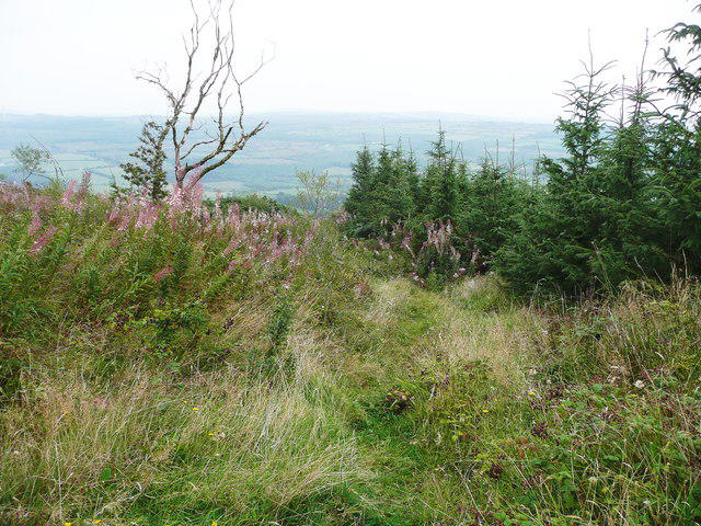 Photo could not load
S5922 : The purple route of the Tory Hill Trail
Humphrey Bolton
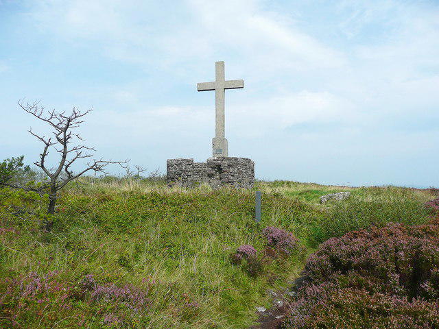 Photo could not load
S5922 : The summit of Tory Hill
Humphrey Bolton
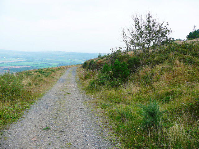 Photo could not load
S5922 : On the green route of the Tory Hill Trail
Humphrey Bolton
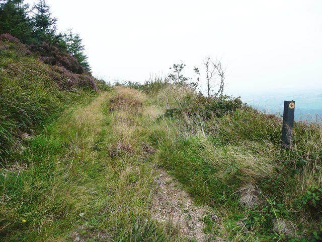 Photo could not load
S5922 : Waymark on the purple route of the Tory Hill Trail
Humphrey Bolton
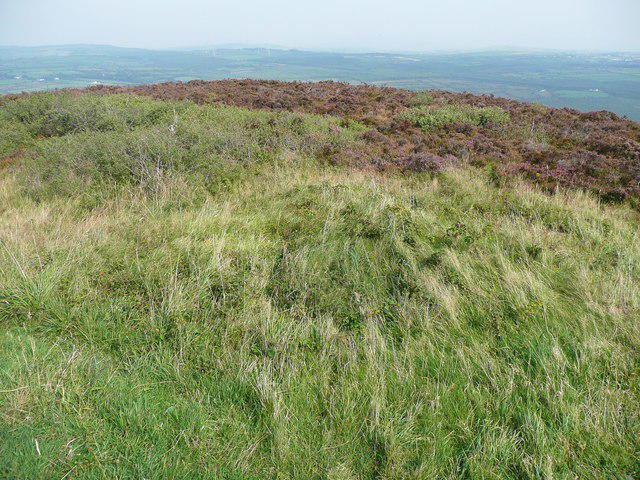 Photo could not load
S5922 : The view north-eastwards from the summit of Tory Hill
Humphrey Bolton
Hill facts and local notes
Classifications
Elevation
292m
958 ft
Prominence
168m
Coordinates
52.3486, -7.1265
S595222
OS Map
75 76
At the Summit
At the summit, you'll find a quaint stone cairn and a stunning view of the surrounding countryside, perfect for your holiday snap.
Terrain & Geology
The hill is predominantly composed of limestone, offering a unique opportunity to observe karst features such as limestone pavements and swallow holes.
Views & Scenery
From the top, enjoy sweeping views of the River Suir, the Comeragh Mountains, and on a clear day, even as far as the Knockmealdown Mountains.
History & Heritage
Name Origin
Sliabh gCruinn translates to 'Hill of the Round' in Irish, a nod perhaps to its gentle, rounded summit.
Historical Significance
This hill has been of local importance for centuries, serving as a lookout and gathering point for the community.
Getting There & Facilities
Check current local access restrictions, parking rules and transport timetables before travelling. These notes do not confirm public access to the summit.
Parking
There is a small parking area in Kilsheelan, just a short walk from the trailhead.
Public Transport
Buses run regularly from Clonmel, with a stop in Kilsheelan; check local schedules for timing.
Nearby Facilities
The village of Kilsheelan has a charming café and a public toilet for hikers in need of refreshment.
Safety Information
Known Hazards
- Be cautious of sudden weather changes, as well as uneven and slippery terrain, especially after rainfall.
General Safety Tips
- Check weather conditions before setting out
- Carry appropriate clothing and equipment
- Let someone know your planned route
- Take a map, compass, and GPS device
- Carry emergency supplies: food, water, first aid kit, torch
Hills
Some common questions about the hills answered
Are there group walks up Tory Hill [Sliabh gCruinn]?
Many walkers use Walkmates to join or organise walks with others. You can check for group walks around Tory Hill [Sliabh gCruinn] through the maps
Are there other walkers around Tory Hill [Sliabh gCruinn]?
Activity varies by location and time, but Walkmates lets you see whether others have shared walks or shown interest in this area. Find other people through the walking friends search walking friends for Tory Hill [Sliabh gCruinn] search or of course create your own walk for Tory Hill [Sliabh gCruinn]
Can I organise a walk to Tory Hill [Sliabh gCruinn]?
Yes. If there aren’t any walks listed already, you can create a walk and make it available for others to join.
If you're signed up to Walkmates, you can create a walk to Tory Hill [Sliabh gCruinn].
How do I find a walk up this hill?
There are often multiple ways to walk this hill, depending on experience and route preference. Walkmates helps you explore walks and routes that others have shared.
Can I suggest a new route up Tory Hill [Sliabh gCruinn]?
Yes. You can suggest or create routes to share with others. Walkmates focuses on the social side of walking, so routes are used to help people organise walks and explore areas together, rather than as detailed navigation tools or route libraries.
Other uses really appreciate knowledgeable walkers sharing their routes. Share your favourite route to Tory Hill [Sliabh gCruinn] here
The is an error or something incorrect about this hill. How do I let you know?
We always strive to keep the information on Walkmates as accurate as possible. If you find an error, please let us know through the contact form and we'll aim to correct it as quickly as possible
Community Discussion
Comments
Location
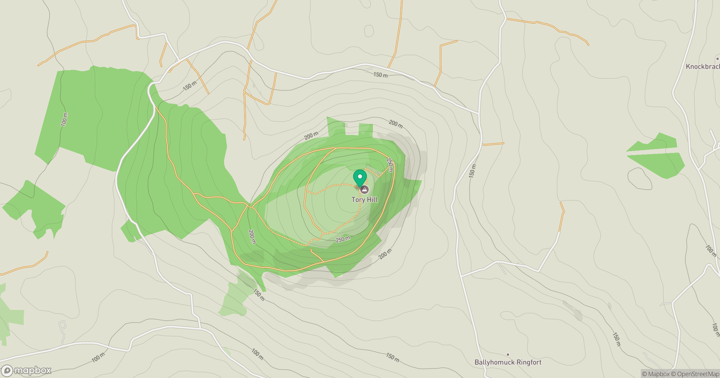
Grid reference: S595222
View on OpenStreetMapOpens a map in a new tab, centred on the hill.
Hills within 30 km
Straight-line distance, not a walking route or confirmation of access.
Mount Alto [Cnoc Ruairi]
276m
Slievecoiltia [Sliabh Coltair]
268m
Coppanagh [Sliabh Chopanai]
365m
Brandon Hill [Cnoc Bhreanail]
515m
Croghan
365m
No comments yet. Be the first.